About
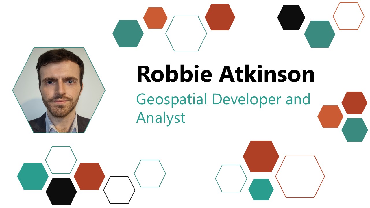
Experienced geospatial analyst with a strong background in data processing, programming, and risk modelling. With NASH Maritime I work within the planning process supporting maritime development projects for offshore renewable and infrastructure within the UK and internationally.
Professional Experience
NASH Maritime Ltd
Senior Maritime GIS Consultant
May 2026 - Present
Maritime GIS Consultant
January 2023 - May 2026
Key Responsibilities:
- GIS mapping and cartography: Develop spatial analyses and GIS outputs in QGIS to support navigational risk assessments, stakeholder engagement, Notices to Mariners, constraints analysis, site selection, and tender submissions.
- Risk modelling: Create quantitative models of vessel collision, allision, and grounding risks to calculate and assess navigational incident return periods and occurrence probabilities using IWRAP Mk2.
- Data management: Identify, acquire, and manage maritime datasets; liaise with data owners on technical and contractual requirements; and maintain metadata standards, including those for AIS data, Admiralty Charts, and MEDIN discovery metadata.
- Programming: Develop bespoke Python scripts for AIS, GPS, and radar data analysis, quality-control workflow automation, and risk modelling.
- Technical reporting: Contribute to scoping reports, environmental statements, navigational risk assessments, site selection studies, and technical notes for offshore wind farms, ports, and inland waterway infrastructure.
- Teaching and quality management: Contribute to data guidelines and procedures, create workflow tutorials and analysis templates, support Communities of Practice, onboard new starters, and contribute to quality assurance and quality control.
- Survey data capture and management: Design and conduct offshore surveys, prepare detailed survey RAMS, perform ongoing data-quality checks, and document survey findings.
- Dashboard development: Build ArcGIS dashboards to visualise key metrics and support data-driven decision-making.
Education
University of Leicester
MSc Geographical Information Science Oct 2020 - Oct 2022 Distinction
Module Results
| Module | Mark |
|---|---|
| Geospatial Databases and Information Retrieval | 80.8 |
| Satellite Data Analysis in Python | 77.0 |
| Geospatial Data Analytics | 74.6 |
| Fundamentals of GIS | 73.9 |
| Remote Sensing | 72.7 |
| R for Data Science | 74.5 |
| Geographical Visualisation | 78.8 |
| Field Data Capture | 72.8 |
| Dissertation | 73.1 |
Developed Core Competencies:
- GIS software: Use GIS tools, including Esri and QGIS, to extract insights from geospatial data.
- Scientific programming: Develop R and Python scripts for analysis, automation, and machine learning.
- Geospatial visualisation: Create maps, 3D visualisations, and interactive applications.
- Remote sensing: Process satellite imagery and Earth observation data.
- Database management: Use SQL to manipulate relational databases for data acquisition and storage.
- Field data capture: Collect geospatial data using terrestrial laser scanning, total station surveying, and photogrammetry.